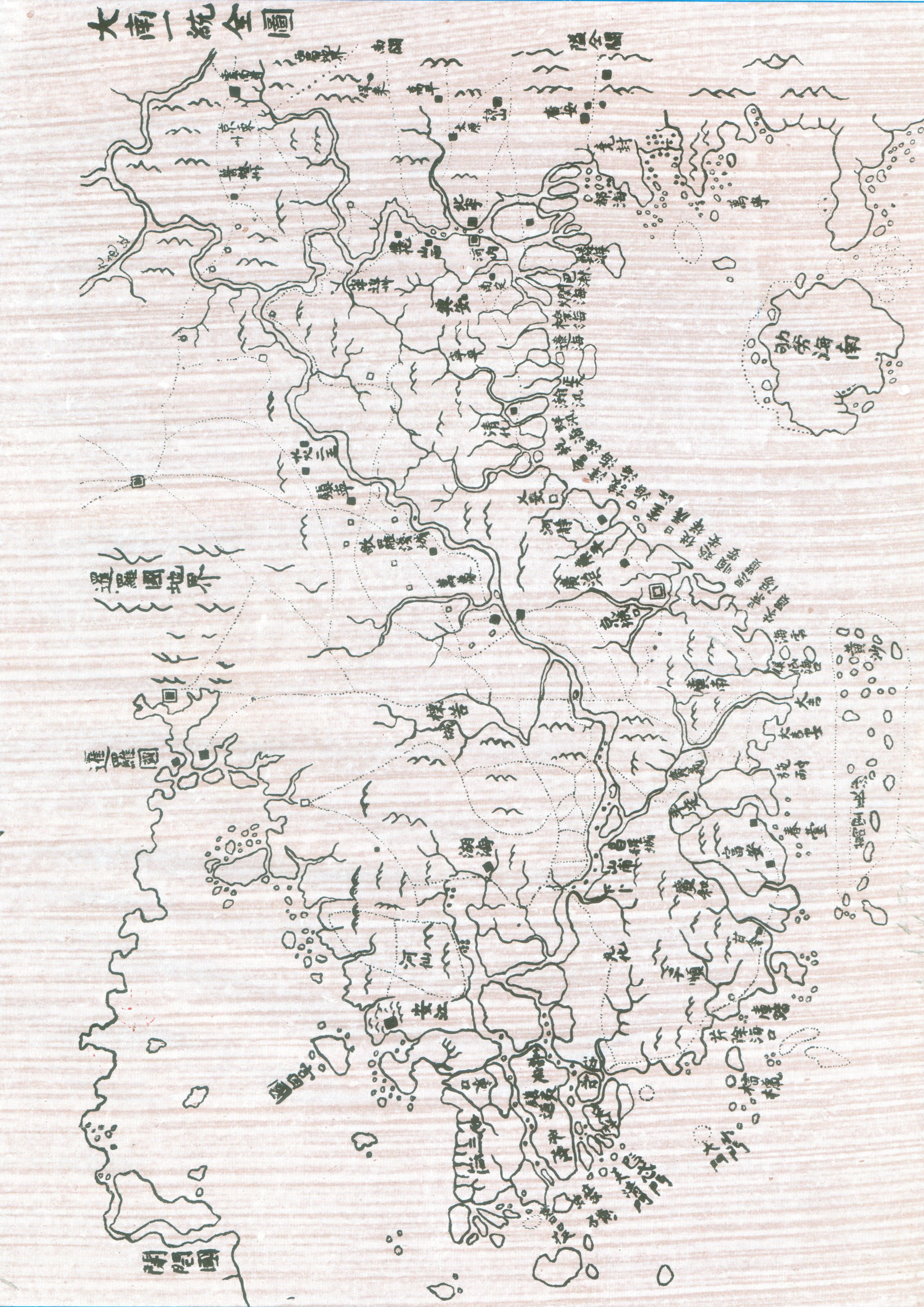

Map of Dai Nam nhat thong toan do (Complete map of the unified Dai Nam)
The Map of Dai Nam nhat thong toan (Complete map of the unified Dai Nam) do was drawn in 1838 during the reign of Emperor Minh Menh. This is an administrative map drawing the border of Viet Nam quite similar to the present border of Viet Nam. On the map, the Hoang Sa archipelago and the Van Ly Truong Sa archipelago (Truong Sa archipelago) are separated and located in the east. Published in the same year of 1838, the Complete map of the unified Dai Nam compiled by the Nguyen Dynasty and The map of An Nam Empire drawn by Bishop Jean Louis Taberd share many similarities in terms of shape and information.
The revised version of this map is currently stored at the Australian National University Library.