
Map of Guangdong province
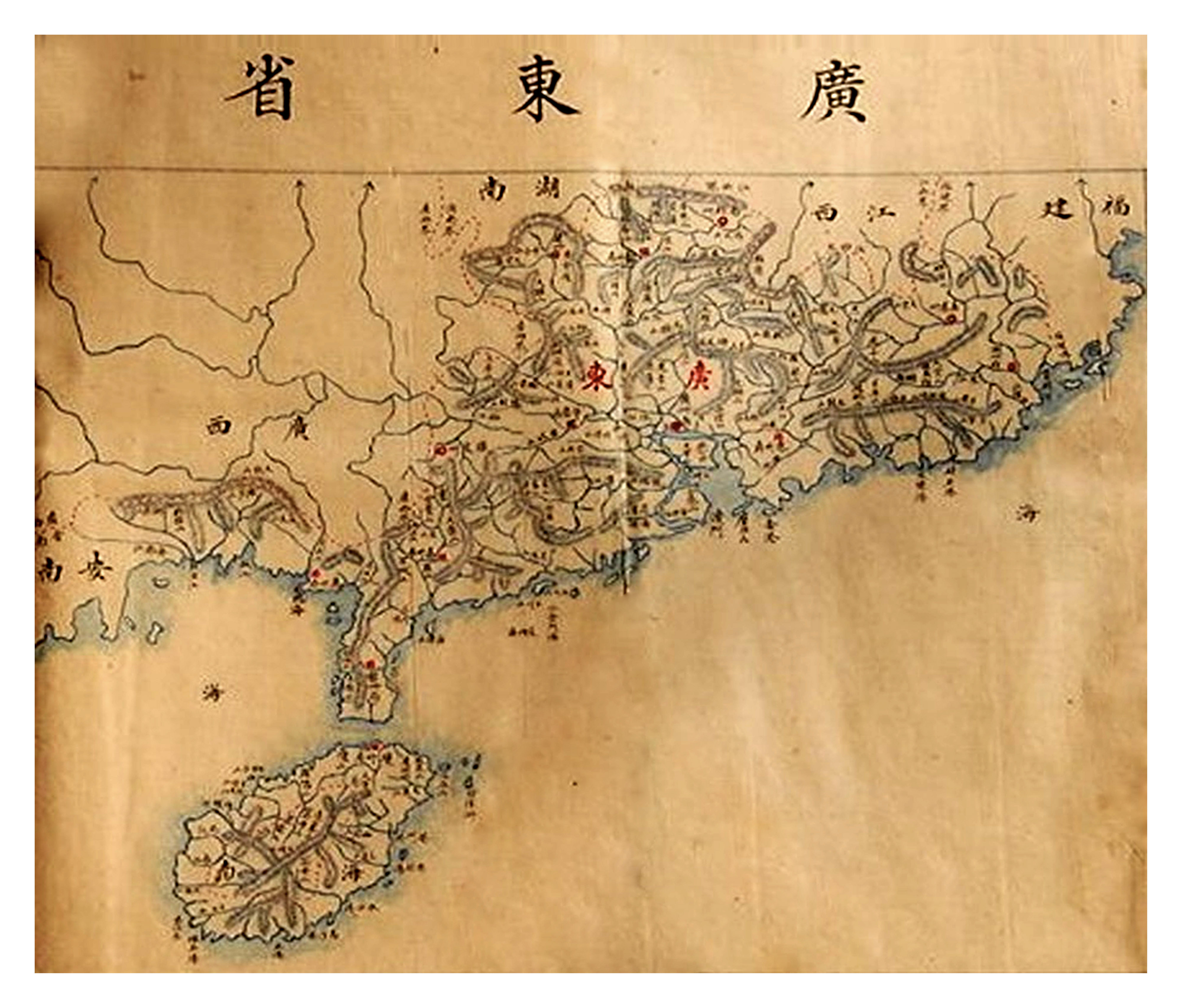
Map of Guangdong province in the book Geographical Survey published by the Qing Dynasty in China during the period of Guangxu emperor. This map was drawn according to Western techniques. On this map, China’s southernmost point is Hainan Island, belonging to Guangdong Province, which is about 18015’ north latitude, without the existence of the Hoang Sa or Truong Sa archipelagos.