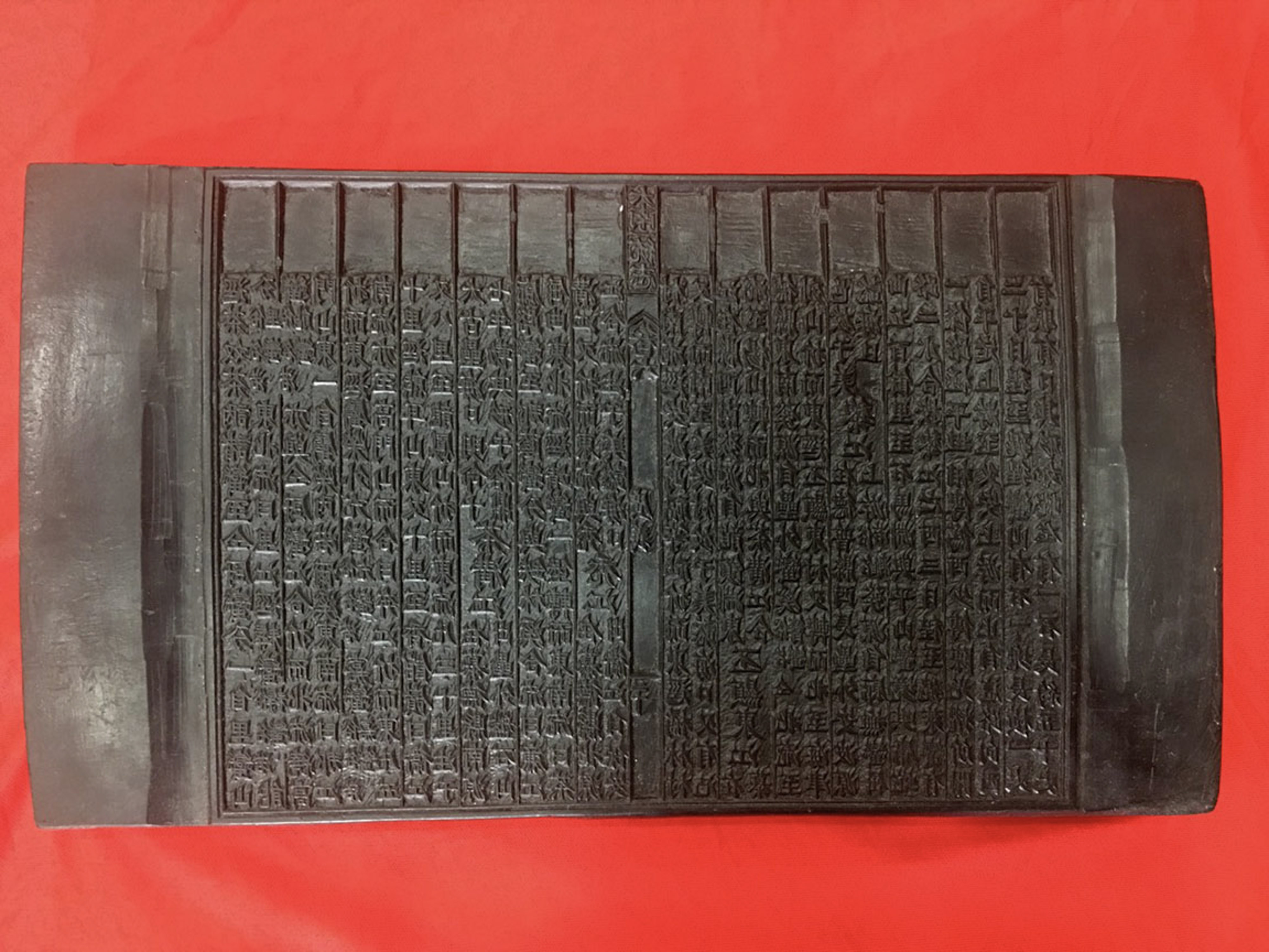

This is a woodblock of the book Dai Nam Nhat Thong Chi (Records of Dai Nam Unification). Dai Nam Nhat Thong Chi was compiled, completed and printed by the National History Office of the Nguyen Dynasty in Duy Tan monarchy's year 3rd (1909), recording natural geography, scenic relics, customs, people, local products and so on of provinces from Thanh Hoa to Binh Thuan. Book 6 of this book series has a record about Hoang Sa and the custom of sending people out to the islands to search for marine animals and fossils every year. According to the book: Hoang Sa Island is in the East of Re Island, Binh Son District. From Sa Ky beach, with favorable winds, it can take three or four days and nights by boat to reach there. There are more than 130 small islands which are a day's journey or a few miles away from each other. On the island there is a flat, spacious, golden sand beach continuously extending for thousands of miles, commonly called "Van Ly Truong Sa"; The water is very clear, there is a freshwater well on the beach, and countless seabirds gather together. The produce include snails, sea cucumbers, sea turtles, and goods from Qing boats that were caught in a storm and drifted there.
At the beginning of the dynasty, the Hoang Sa Flotilla was set up with 70 people, recruited from An Vinh commune, every March, they went to the sea to search for marine resources. In August, they came back to Tu Hien seaport to submit the collection; then assigned the Bac Hai Flotilla, managed by the Hoang Sa Flotilla, to retrieve marine resources from the islands to the east of Hoang Sa archipelago, near Quynh Chau district, Hainan island, Qing Dynasty. In the beginning of Gia Long's regime, Gia Long followed the old custom of setting up the Hoang Sa Flotilla, however later abandoned it; Early in Minh Menh's regime, the Emperor often sent people there to explore the sea route. The explorers saw a place with a white sand dune with a perimeter of over 4 meters surrounded by green trees. There was a well in the middle of the sand dune, and in the southwest of the dune there was an ancient temple with a stele engraved with the four words "Van Li Ba Binh" (Ten Thousand Miles of Peaceful Waves). This island was formerly called Phat Tu mountain. The east and west sides of the island were coral reefs, growing around the water surface; to the northwest, next to the coral rock, there emerged a dune with a circumference of 340 meters, 4.8 meters high, on par with the sand dune, called Ban Than rock. In Minh Menh monarchy’s year 16th, the Emperor sent a boat carrying bricks and stones to build a temple and erected a stone stele on the left side of the temple to mark the territory, and planted seeds on the left, right, and back sides. The soldiers building the temple foundation found up to 2,000 pounds of copper and iron.