
Toan Tap Thien Nam Tu Chi Lo Do Thu (Complete collection of An Nam Road Map/ Handbook of the South’s Road Map)
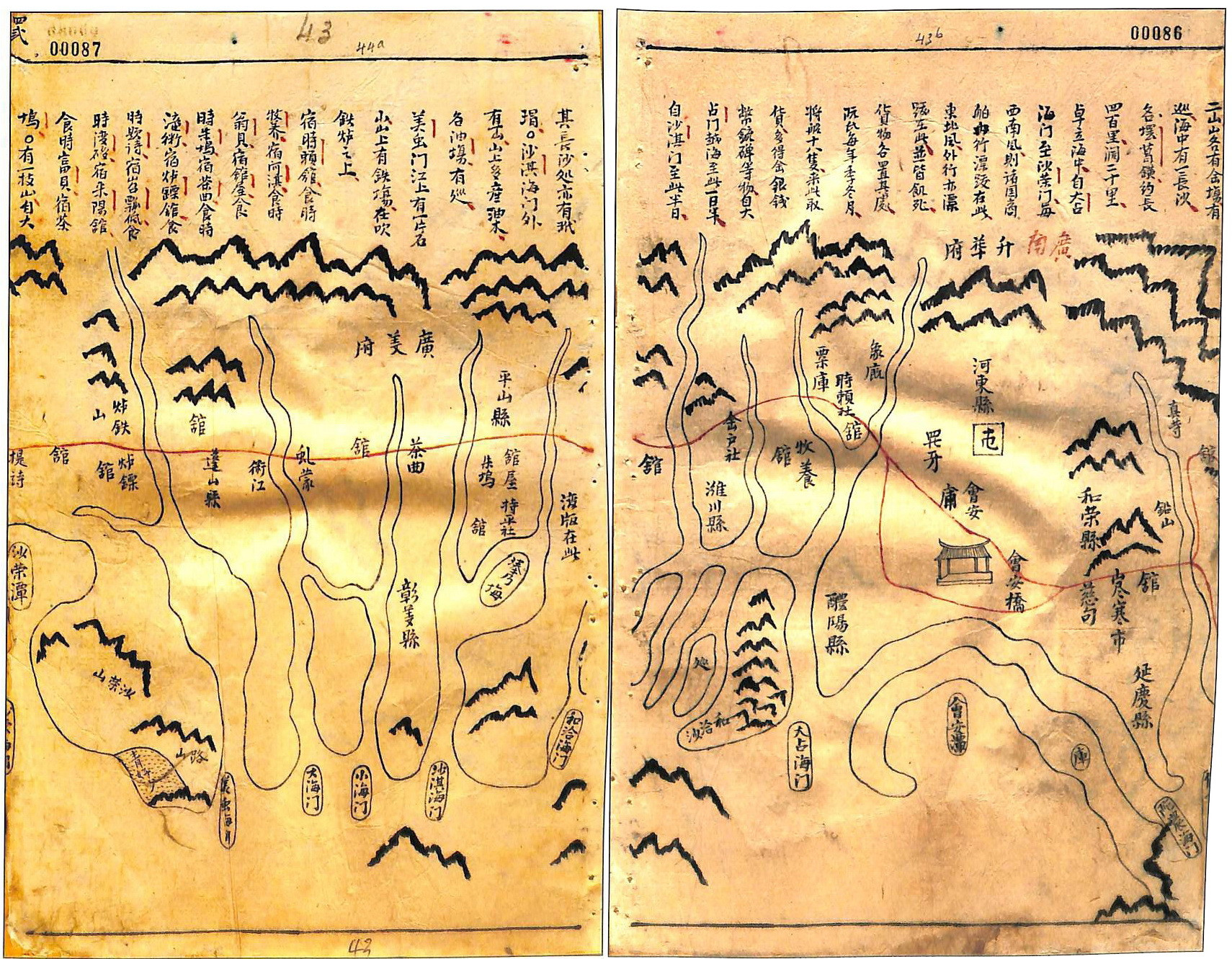
Serving the order of Lord Trinh, Toan Tap Thien Nam Tu Chi Lo Do Thu (a geography map collection of Viet Nam in the 17th century) was compiled by Do Ba in 1686, a Vietnamese cartographer, born in Bich Trieu commune, Thanh Chuong district, Nghe An province. This is the earliest document related to Hoang Sa found in Viet Nam. The maps in this collection are annotated by captions and explanations located above each map. Significantly, in the collection there is a map drawing the terrain of Binh Son district (Quang Ngai district, Quang Nam province). The caption above the map describes the location of Bai Cat Vang (Paracel Islands) off the coast of Quang Ngai.
The collection of Thien Nam Tu Chi Lo Do Thu is currently archived at the Institute of Sino-Nom Studies.